Client C · Autonomous driving & mapping
Half a million images for autonomous navigation, with every file kept on EU servers
Bounding boxes, coordinate mapping, event tagging and point cloud annotation for a Netherlands based mapping company.
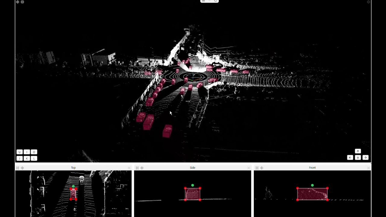
Illustrative image, not client data
The challenge
Client C builds mapping and navigation data for autonomous vehicles and smart city applications. It needed bounding boxes, location coordinate mapping and event tagging across camera footage and spatial data, held to the standard safety critical navigation requires.
All data had to stay on EU based servers, with our team in India working on it remotely under strict data residency rules.
What we did
A team of up to 20 annotators worked in CVAT across the full scope, scaling up and down as project phases changed over six months.
Guidelines were written for Client C’s requirements, the dataset was split into manageable chunks, and automated checks flagged issues early. Data never left the agreed perimeter.
Results
More than 500,000 images processed, more than 1,000 hours of video annotated and more than 250,000 point cloud frames completed.
The engagement finished on schedule once the scope was delivered.