
Geospatial
Satellite, aerial and LiDAR data, labelled by people who read it from above.
Land cover, features, infrastructure and change detection across overhead imagery and point clouds.
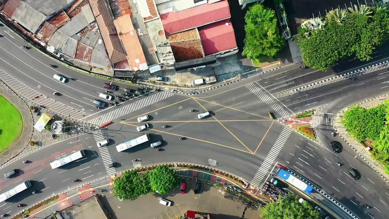
From raw tiles to a map you can trust
Every part of the workflow where we can take work off your team.
Imagery prep
Land
Built features
Change
We work with satellite, aerial, LiDAR and multispectral.
What we label
Every class is written into a guide with your team before the first batch. Files come back as COCO JSON, YOLO, Pascal VOC, CSV, JSONL or your own schema.
Satellite and aerial
Land cover
Segmentation
Forest, cropland, urban, water, bare soil
Footprints
Polygon
Building, rooftop, solar panel, pool
Linear features
Polyline
Road centreline, rail, powerline
Change
Polygon and class
New, demolished, damaged, unchanged
LiDAR and point cloud
Point classes
3D segmentation
Ground, building, vegetation, wire, pole
Objects
3D cuboid
Vehicle, tower, tree
Multispectral
Masks
Segmentation
Cloud, shadow, haze, burn scar
How we test the model
The tests that matter for geospatial models, and what you get back from each.
Accuracy by region
Model output checked against reviewed tiles from each region and season.
You get backAccuracy by class, region and season
Boundary quality
Footprints and parcels checked for edge accuracy, not just presence.
You get backOverlap and edge error by class
Reviewer agreement
Overlapping tiles labelled twice, to find unclear class definitions.
You get backAgreement by class
Where geospatial teams start
Problems teams bring us, and the first piece of work we would scope.
Your model works in one country and fails in the next.
What we doWe label across regions, seasons and sensors, with a class guide that travels.AnnotateClouds and shadows are being classified as land cover.
What we doCloud, shadow and haze masks labelled before anything else.AnnotateYou need to know what changed after a flood, and fast.
What we doDamage and change labels on before and after passes, with a team sized to the event.AnnotateRelated work
A human verification layer for AI extracted fields on construction bills, invoices and site notes, running 24/7 until the model no longer needed it.
Live verification inside a production AI pipeline, under 2 minutes, for six months
Defect annotation on building imagery in CVAT, with a webhook loop between annotators and reviewers.
50,000 facade annotations a week for building condition assessments
Part identification and damage segmentation for insurance claims AI.
200,000 polygons for automated vehicle damage assessment
2,000 robot videos described every week by a team built in seven days
Bring us the geospatial data your model gets wrong.
Send a small batch and get it back done, free, usually within 24 to 48 hours. You judge the work before you pay for anything.